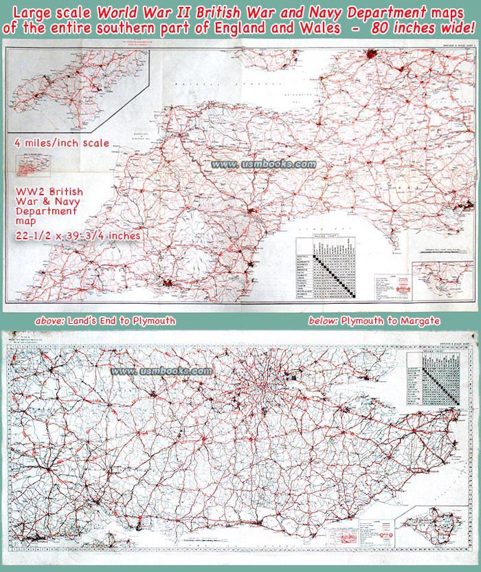
Offered for sale on this USMBOOKS web page are two original, large size and large scale World War II British War and Navy Department color maps covering the entire southern part of England as well as Wales. This is the area of England where most of the staging areas for Allied invasion troops that liberated France in 1944 were located.
Both maps are very detailed with every inch covering only 4 miles. These two World War II maps were for military use only, not for sale to the public or general distribution. They were brought back to the United States after World War II by a US Army Engineer Sergeant who went ashore in Normandy.
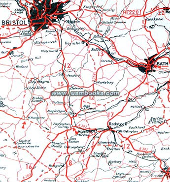
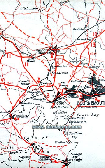
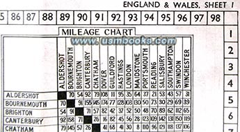
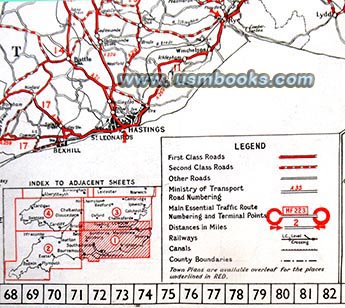
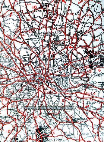
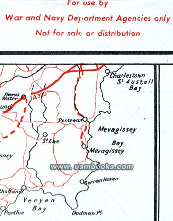
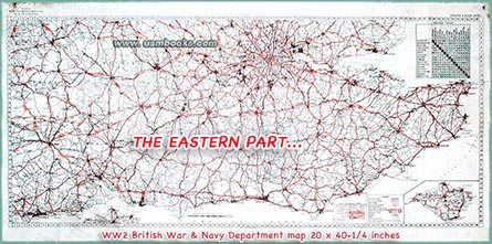
SHEET 1 measures 20 x 40-¼ inch and covers the southeast of England: Bournemouth to Margate, London to Brighton and the Isle of Wight, Swindon to Hastings (of Foyle's War fame). This map has an easily repaired 3 inch long horizontal tear on the right end at Margate.

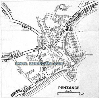
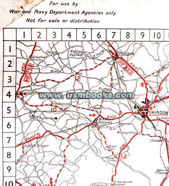
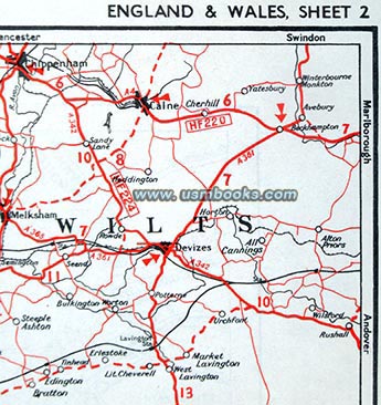
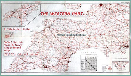
SHEET 2 (shown left) measures 22-½ x 39-¾ inch and covers southwest England: Land's End to Chippenham, Cardiff to Bournemouth and Bath, including Bristol, Exeter, Torquay, Plymouth and Weymouth This map has no tears.
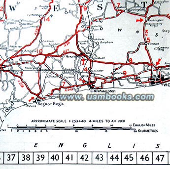
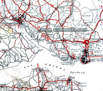
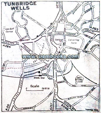
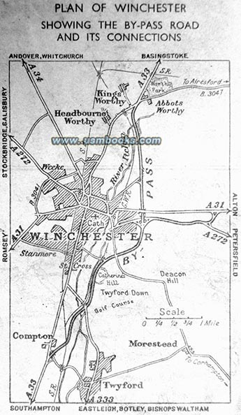
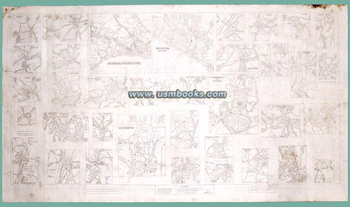
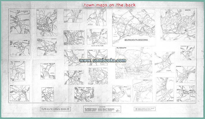
Both two-sided British World War II color maps show highways and secondary roads, railways, rivers and canals, county boundaries, distances between cities, and there are black & white maps of many towns and cities on the back of each map as shown.
These rare historical 70+ year old British military maps are original to World War II and are in nice used condition, exactly as shown.
Have a look at the large selection of original Third Reich German maps for sale on USMBOOKS.com. We are happy to combine shipping to save you money!
** SOLD ** |
| • Add $12.95 for Priority Mail shipping with USPS Tracking. |
| • IF you wish to purchase highly recommended, but optional insurance, add $3.50. |
| • We will be happy to ship abroad at additional cost, however foreign customers are responsible for any VAT payments, import duties and clearing fees. Please inquire. |
ORIGINAL BRITISH WORLD WAR II MILITARY MAPS OF SOUTHERN ENGLAND - LOT OF 2
TWO RARE ORIGINAL WORLD WAR II BRITISH WAR & NAVY DEPARTMENT COLOR MAPS OF SOUTHERN ENGLAND - 80 INCHES WIDE

